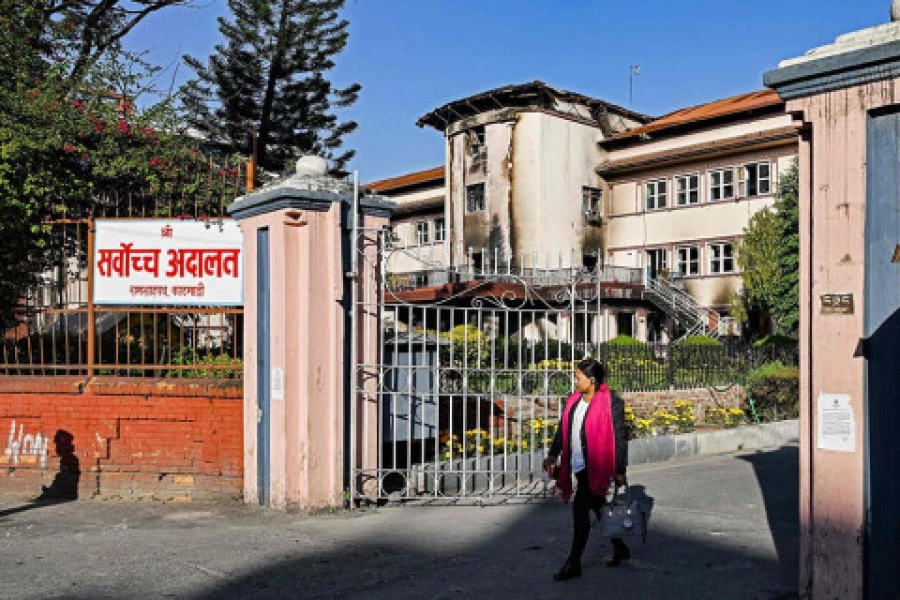
Given the entrenched political divisions over the issue, no one expected the Constituency Delimitation Commission (CDC) to produce a foolproof report on redrawing electoral constituencies for new Constituent Assembly election scheduled for November 19. The CDC, in submitting its final report to the head of the interim election government Khil Raj Regmi, hasn’t disappointed its skeptics.
Although the bulk of the report is still under wraps, the little that has been revealed raises more questions than it helps answer. The disagreement was over whether to redraw constituencies solely on the basis of population (as the Madhesh-based parties want) or to also take geography into consideration (as NC and CPN-UML have been pushing). [break]
As expected, the CDC report proposes that the 240 constituencies from last CA polls be kept intact, with only minor adjustments to the boundaries in around a dozen districts in Tarai-Madhesh. Expected because the CDC members were working with limited mandate, which was further constrained by (the often conflicting) constituency delimitation provisions in the interim constitution. Still, one wonders why there was a need for a formal mechanism like CDC to come up with such ‘everything and nothing’ report.
While the interim constitution is clear on the primary importance of population growth in drawing up electoral boundaries, mention of ‘geographical congeniality and specificity in the election of CA members’ does create some ambiguity. All over the world, population is the main basis for drawing electoral constituencies. There can be no representation without people and it is only logical that the places with more population should have more constituencies.
The controversy is rather centered on whether population should be the sole criterion. Critics of the ‘population only’ approach argue that places like Manang (with population of under 7,000 according to 2011 census) would be at a disadvantage if this route is taken. We agree, up to a point. There should be mechanisms to ensure that remote hilly and mountainous regions are not left off the electoral map.
One of the best ways to do so would be through the election of a bicameral legislature, as in the US. There, lack of representation of the less populated states at the center is more than made up by equal representation of all 50 states in the upper house. Perhaps this is the best way for equitable representation for Nepal in the long run.
Since the new CA will be unicameral, it will be important to include the voices from every corner of the country in the same chamber. But we believe that the interim constitution is clear enough on the primacy of population basis. This provision must be respected. There is a strong case for amending the IC to allow for redrawing of the 205 electoral constituencies (from before the last CA polls), even if the overall number is to be capped at 240.
Again, the more the number of people in any given area, the more elected representatives it should get. Since the population of the Tarai belt has increased since the last census, it is logical (and constitutional) that electoral constituencies be added there while a few might have to be subtracted from hilly and mountainous districts that have witnessed population decline.
The hill residents who have descended to Tarai will still be able to vote from their new settlements. Population growth in the Tarai belt and the consequent increase in the number of electoral constituencies there is more a case of relocation than disenfranchisement.
Related story
Truth and universe